Photo: sekido / CC BY 2.0 · Wikimedia Commons
Kagawa Prefecture
Shikoku region · Prefecture
Official website
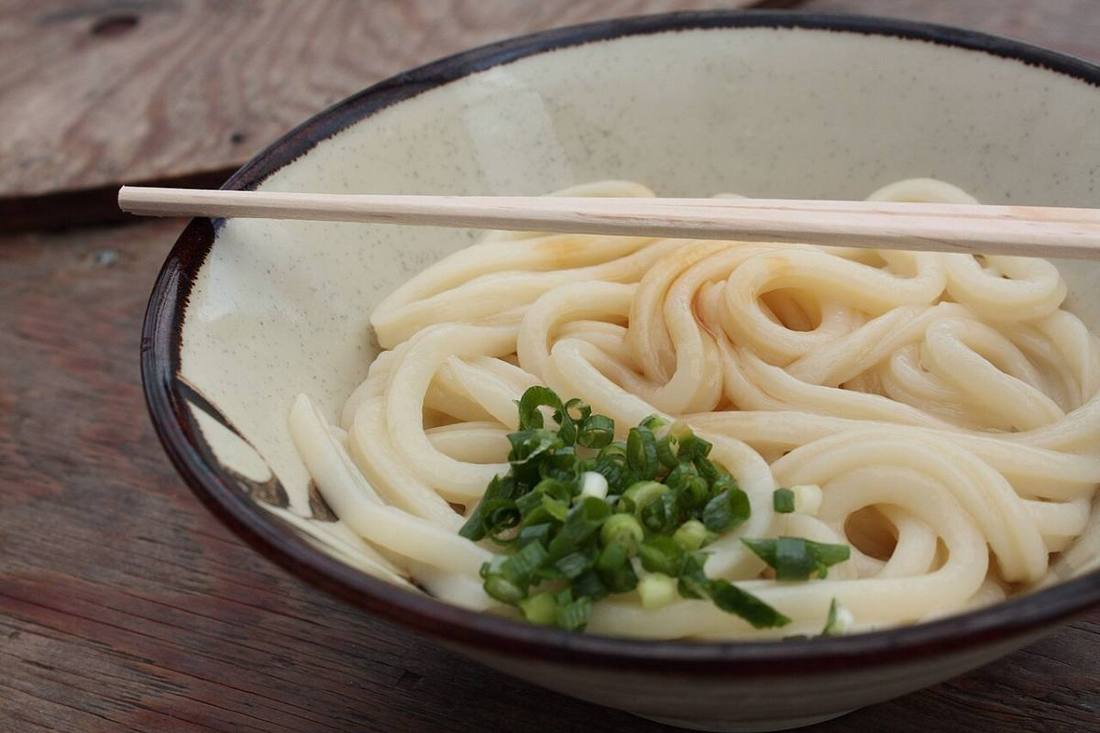
Kagawa Prefecture, the smallest prefecture in Japan by area, is called the "Udon Prefecture." Sanuki udon is the everyday food of local people. Because the area gets little rain, many irrigation ponds are scattered across it. The art islands of the Seto Inland Sea, such as Naoshima and Teshima, attract travelers from around the world.
- Sanuki udon
- Setouchi Triennale
- Kotohira-gu
- Olives of Shodo Island
Key facts
- Municipalities
- 17 (8 cities, 9 towns)
Source: Statistics Bureau of Japan, 2025 Population Census (population, area and density); area from the Geospatial Information Authority of Japan (GSI), Area Statistics of Prefectures and Municipalities (2025). National ranks are among the 47 prefectures, ordered by this site from these values.
Places to know
- Takamatsu City Ritsurin Garden, a garden of a feudal lord, and the gateway to Shikoku.
- Kotohira Town The 785 stone steps of Kotohira-gu, known as "Konpira-san."
- Naoshima Town An island of contemporary art, with the Chichu Art Museum and Kusama Yayoi's pumpkin.
Current warnings, advisories and earthquakes
Places to visit in Kagawa Prefecture
Browse by category
Shrines, temples, castles and historic sites
Chosen automatically, most popular first, from landmarks and cultural properties registered in Wikidata (we have not checked whether each is open). Names and descriptions: Wikidata (CC0); photos: Wikimedia Commons (photographer and license under each photo).
National parks in Kagawa Prefecture
- Setonaikai National ParkTotal park area 673 km²Also in Hyogo, Wakayama, Okayama, Hiroshima, Yamaguchi, Tokushima, Ehime, Oita
Chosen by overlaying the park boundaries (Ministry of the Environment, Biodiversity Center of Japan, "National Park Areas" GIS data, updated April 28, 2025, combined and simplified by NIPPON ATLAS) with municipal boundaries (National Land Numerical Information, January 2021), keeping overlaps of about 0.5 km² or more (approximate). Areas are the land areas from the Ministry of the Environment, "Overview of National Parks" (April 10, 2026). All national parks
Municipalities in Kagawa Prefecture (17)
| Municipality | Population | 5-year change | Area | Temperature nownearest AMeDAS |
|---|
| Takamatsu City | 406,893 | −2.5% | 376 km² | |
| Marugame City | 106,687 | −2.6% | 112 km² | |
| Sakaide City | 47,709 | −5.8% | 92.46 km² | |
| Zentsuji City | 29,669 | −6.2% | 39.93 km² | |
| Kan'onji City | 54,352 | −5.4% | 118 km² | |
| Sanuki City | 42,523 | −9.5% | 159 km² | |
| Higashikagawa City | 25,300 | −10.5% | 153 km² | |
| Mitoyo City | 56,254 | −9.1% | 223 km² | |
| Tonosho Town | 11,425 | −11.1% | 74.24 km² | |
| Shodoshima Town | 12,527 | −9.7% | 95.69 km² | |
| Miki Town | 25,759 | −4.2% | 75.78 km² | |
| Naoshima Town | 2,931 | −5.5% | 14.21 km² | |
| Utazu Town | 18,572 | −0.7% | 8.10 km² | |
| Ayagawa Town | 21,421 | −5.6% | 110 km² | |
| Kotohira Town | 7,617 | −10.0% | 8.47 km² | |
| Tadotsu Town | 21,175 | −5.7% | 24.39 km² | |
| Manno Town | 16,014 | −8.0% | 194 km² | |
Source: Statistics Bureau of Japan, 2025 Population Census (population in 2025; change compared with 2020). Area: GSI (2025). Designated cities are shown as one city (wards combined). "Temperature now" is the latest JMA AMeDAS observation (preliminary) at the nearest station in the same prefecture, loaded and shown unchanged when you open the page.