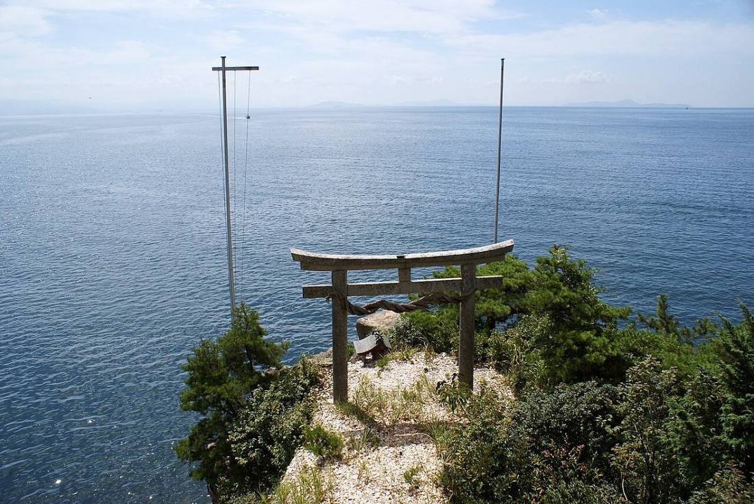
Photo: 663highland / CC BY 2.5 · Wikimedia Commons
Shiga Prefecture
Kansai (Kinki) region · Prefecture
Official website
Lake Biwa, the largest lake in Japan, spreads across the center of the prefecture and serves as the "water jar of Kinki." It is also a stage of history, with the Omi merchants' motto "sanpo yoshi" (good for seller, buyer and society), Enryaku-ji Temple on Mt. Hiei and Hikone Castle, a National Treasure.
- Lake Biwa
- Enryaku-ji Temple on Mt. Hiei
- Omi merchants
- Omi beef
Key facts
- Municipalities
- 19 (13 cities, 6 towns)
Source: Statistics Bureau of Japan, 2025 Population Census (population, area and density); area from the Geospatial Information Authority of Japan (GSI), Area Statistics of Prefectures and Municipalities (2025). National ranks are among the 47 prefectures, ordered by this site from these values.
Places to know
- Otsu City Enryaku-ji Temple on Mt. Hiei and the gateway to Lake Biwa.
- Hikone City Hikone Castle, a National Treasure, and Hikonyan.
- Omihachiman City Waterways and the townscape of the Omi merchants.
Current warnings, advisories and earthquakes
Places to visit in Shiga Prefecture
Browse by category
Shrines, temples, castles and historic sites
Chosen automatically, most popular first, from landmarks and cultural properties registered in Wikidata (we have not checked whether each is open). Names and descriptions: Wikidata (CC0); photos: Wikimedia Commons (photographer and license under each photo).
Municipalities in Shiga Prefecture (19)
| Municipality | Population | 5-year change | Area | Temperature nownearest AMeDAS |
|---|
| Otsu City | 342,879 | −0.6% | 465 km² | |
| Hikone City | 111,549 | −1.8% | 197 km² | |
| Nagahama City | 108,044 | −4.9% | 681 km² | |
| Omihachiman City | 79,546 | −1.9% | 177 km² | |
| Kusatsu City | 148,660 | +3.3% | 67.82 km² | |
| Moriyama City | 84,478 | +1.5% | 55.73 km² | |
| Ritto City | 69,143 | +0.5% | 52.69 km² | |
| Koka City | 84,920 | −3.9% | 482 km² | |
| Yasu City | 49,986 | −1.0% | 80.15 km² | |
| Konan City | 53,527 | −1.7% | 70.40 km² | |
| Takashima City | 43,103 | −7.1% | 693 km² | |
| Higashiomi City | 109,836 | −2.6% | 388 km² | |
| Maihara City | 35,471 | −4.7% | 250 km² | |
| Hino Town | 19,998 | −4.6% | 118 km² | |
| Ryuo Town | 10,922 | −7.4% | 44.55 km² | |
| Aisho Town | 20,434 | −2.2% | 37.97 km² | |
| Toyosato Town | 6,819 | −4.4% | 7.80 km² | |
| Kora Town | 5,709 | −10.3% | 13.63 km² | |
| Taga Town | 6,984 | −4.0% | 136 km² | |
Source: Statistics Bureau of Japan, 2025 Population Census (population in 2025; change compared with 2020). Area: GSI (2025). Designated cities are shown as one city (wards combined). "Temperature now" is the latest JMA AMeDAS observation (preliminary) at the nearest station in the same prefecture, loaded and shown unchanged when you open the page.