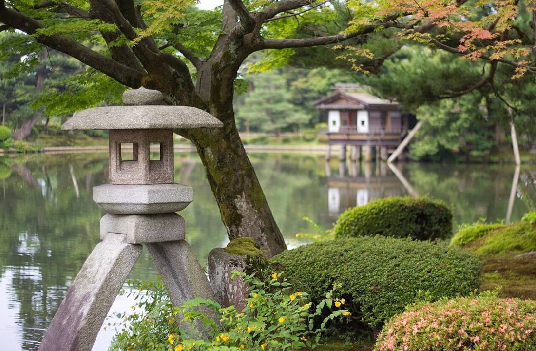
Photo: Japanexperterna.se / CC BY-SA 3.0 · Wikimedia Commons
Ishikawa Prefecture
Chubu region · Prefecture
Official website
A prefecture that carries on the castle-town culture of "Kaga Hyakumangoku" (Kaga of a million koku of rice). It has a rich layer of traditional crafts such as gold leaf, Kutani ware, Wajima lacquerware and Kaga Yuzen dyeing, and the satoyama and satoumi (village woodlands and coasts) of the Noto Peninsula are designated a Globally Important Agricultural Heritage System.
- Kaga Hyakumangoku
- Kenroku-en
- Wajima lacquerware and Kutani ware
- Noto's satoyama and satoumi
Key facts
- Municipalities
- 19 (11 cities, 8 towns)
Source: Statistics Bureau of Japan, 2025 Population Census (population, area and density); area from the Geospatial Information Authority of Japan (GSI), Area Statistics of Prefectures and Municipalities (2025). National ranks are among the 47 prefectures, ordered by this site from these values.
Places to know
- Kanazawa City Kenroku-en, the Higashi Chaya district and almost all of Japan's gold leaf production.
- Kaga City The Kaga Onsen hot springs of Yamanaka, Yamashiro and Katayamazu.
- Wajima City A town of Wajima lacquerware and a morning market.
Current warnings, advisories and earthquakes
Places to visit in Ishikawa Prefecture
Browse by category
Shrines, temples, castles and historic sites
Chosen automatically, most popular first, from landmarks and cultural properties registered in Wikidata (we have not checked whether each is open). Names and descriptions: Wikidata (CC0); photos: Wikimedia Commons (photographer and license under each photo).
National parks in Ishikawa Prefecture
Chosen by overlaying the park boundaries (Ministry of the Environment, Biodiversity Center of Japan, "National Park Areas" GIS data, updated April 28, 2025, combined and simplified by NIPPON ATLAS) with municipal boundaries (National Land Numerical Information, January 2021), keeping overlaps of about 0.5 km² or more (approximate). Areas are the land areas from the Ministry of the Environment, "Overview of National Parks" (April 10, 2026). All national parks
Municipalities in Ishikawa Prefecture (19)
| Municipality | Population | 5-year change | Area | Temperature nownearest AMeDAS |
|---|
| Kanazawa City | 453,605 | −2.1% | 469 km² | |
| Nanao City | 44,191 | −12.1% | 318 km² | |
| Komatsu City | 103,497 | −2.6% | 371 km² | |
| Wajima City | 17,649 | −28.3% | 429 km² | |
| Suzu City | 8,459 | −34.6% | 249 km² | |
| Kaga City | 58,660 | −7.2% | 306 km² | |
| Hakui City | 18,828 | −7.7% | 81.84 km² | |
| Kahoku City | 35,982 | +3.1% | 64.36 km² | |
| Hakusan City | 108,961 | −1.3% | 755 km² | |
| Nomi City | 48,439 | −0.2% | 84.14 km² | |
| Nonoichi City | 58,573 | +2.3% | 13.56 km² | |
| Kawakita Town | 5,865 | −4.4% | 14.64 km² | |
| Tsubata Town | 37,245 | +0.8% | 111 km² | |
| Uchinada Town | 25,296 | −4.8% | 20.33 km² | |
| Shika Town | 15,904 | −14.6% | 247 km² | |
| Hodatsu-shimizu Town | 10,991 | −9.3% | 112 km² | |
| Nakanoto Town | 15,240 | −7.9% | 89.45 km² | |
| Anamizu Town | 6,492 | −17.7% | 183 km² | |
| Noto Town | 12,719 | −18.9% | 273 km² | |
Source: Statistics Bureau of Japan, 2025 Population Census (population in 2025; change compared with 2020). Area: GSI (2025). Designated cities are shown as one city (wards combined). "Temperature now" is the latest JMA AMeDAS observation (preliminary) at the nearest station in the same prefecture, loaded and shown unchanged when you open the page.